


(This column first appeared in the July print edition of the Hendersonian.)
Gentlemen, doff your hats out of respect, and ladies, put on your finest, because we’ve got some celebratin’ to do.
This, the year of our Lord 2025, marks the 250th anniversary—the sestercentennial—of events that unwittingly set into motion the creation of Henderson and Henderson County, Kentucky.
It was in 1775 that North Carolina land speculator Richard Henderson and his investors—the Transylvania Company—met with Cherokee people at Sycamore Shoals, North Carolina, to negotiate the purchase of much of what would much later become Kentucky—land between the Kentucky River to the north and the Cumberland River to the south, as much as 20 million acres.
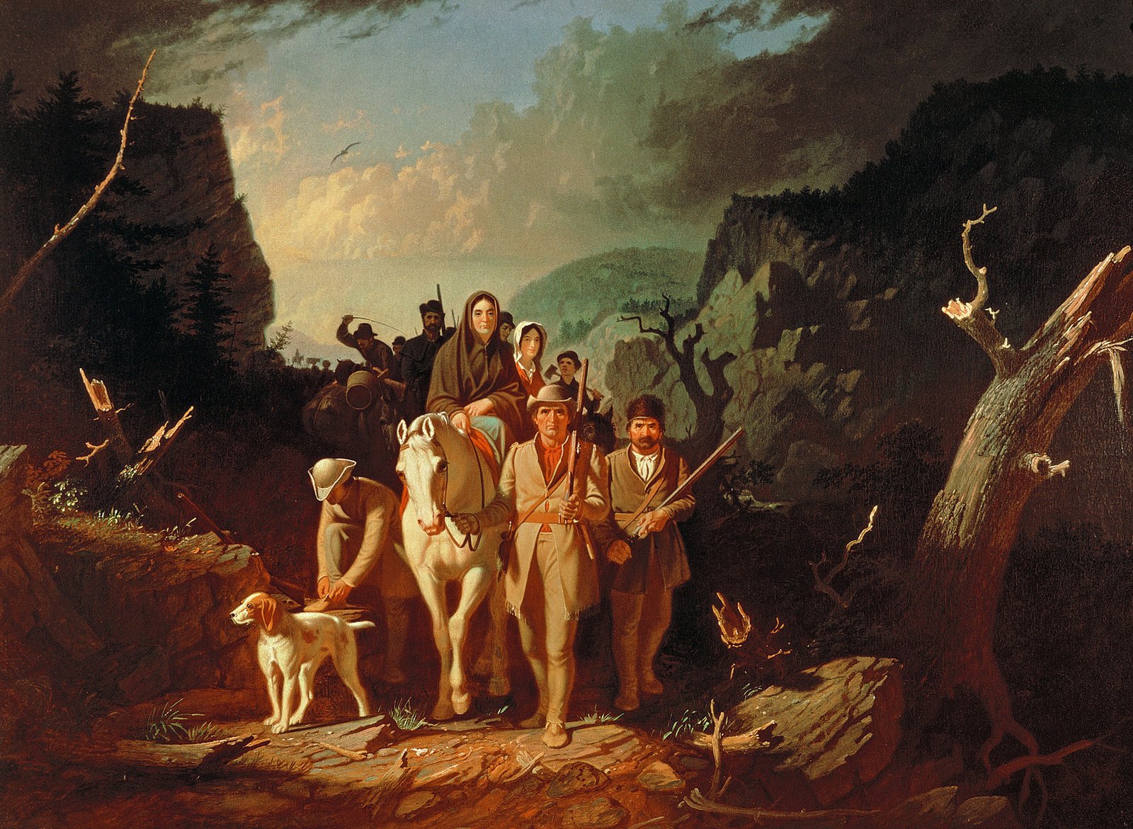
Assisting Henderson & Company was Daniel Boone, a frontiersman who, if not yet a legend, was still invaluable. He was among the few European Americans who had actually been in the wilderness then known to White people as “Kentucke” (as it was spelled then), having in 1769 crossed through the Cumberland Gap, a break in the otherwise impenetrable Cumberland Mountains.
Henderson & Company completed their purchase, though its legality was dubious at best. What they needed, and quickly, was to get settlers from North Carolina across the mountains to start settling Kentucky and to build a fort to encourage others to buy their own land from the Transylvania Company.
So, later in 1775—250 years ago, again—they hired Boone to lead a crew of some 30 axmen to fell trees along the age-old bison path and Indian trail through Cumberland Gap up through Central Kentucky to the Kentucky River, where Fort Boonesborough was constructed. The path, which became known as the Wilderness Road, helped settlers move into what Henderson hoped would become legally recognized as Transylvania (“beyond the forest”).
Alas for Boone and the settlers, times would prove hard. Boone would lose two sons to Indians (possibly Cherokees who had opposed the land sale and realized that they had been bilked by giving up forever a bountiful hunting ground), and others died as well, though the settlers did gain a permanent foothold.
Alas, also, for Henderson & Company, the Continental Congress refused to recognize Transylvania as America’s 14th colony. Worse, the Virginia General Assembly invalidated the Transylvanians’ massive land purchase since the Commonwealth of Virginia laid claim to lands west across the mountains (despite having done little to develop them).
But the Virginia General Assembly made a key concession. In its “special grant of land” approved in October 1778, it acknowledged that “Richard Henderson, and company, have been at very great expense in making a purchase of [land from] the Cherokee Indians,” and though that purchase had been declared void, it said Virginia “is likely to receive great advantage there from, by increasing its inhabitants, and establishing a barrier against the Indians.”
So, it granted Richard Henderson and Company 200,000 acres where the Green River met the Ohio River–a splendid location because of its access to river transportation, though still hundreds of miles into the wilderness from the “civilized” East.
Because of that remoteness and the presence of hostile Indians and river pirates, as well as the raging Revolutionary War, it would be nearly two decades before a town–Henderson–would be laid out.
But when Revolutionary War colonel Samuel Hopkins was sent to do so in April 1797, he chose the highest ground around, at a site known as Red Banks.
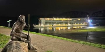
It would prove a fortuitous choice. While all the major cities along the Ohio River were submerged beneath cold, muddy waters during the Flood of 1937, Henderson remained dry, leading to a phrase: “Henderson, on the Ohio, but never in it.”
Back to 1797: Hopkins and a surveyor from Danville named Thomas Allin laid out the town of Henderson (though Richard Henderson never laid eyes on it, having died 12 years earlier) with four streets running parallel to the Ohio River. They are today’s Water, Main, Elm and Green streets. In Hopkins’ plan, there were 12 cross-streets north of the center of town (today’s First Street, Second Street, Third Street, etc.) and 12 south (later named Washington, Powell, Clay, etc.).
The idea was that the town lots, and much bigger parcels out in what would become Henderson County, would be divided among the surviving investors in the Transylvania Company or their heirs, to be occupied by them or sold, typically through Samuel Hopkins, who served as an agent for the company for years.
Plenty has happened since then, and plenty of today’s Hendersonians, native and adopted, don’t remember a better time to live here than now.
So, lift a song, or lift a glass, to events that took place 250 years ago that got the whole thing started, by whatever long and winding road it took.

